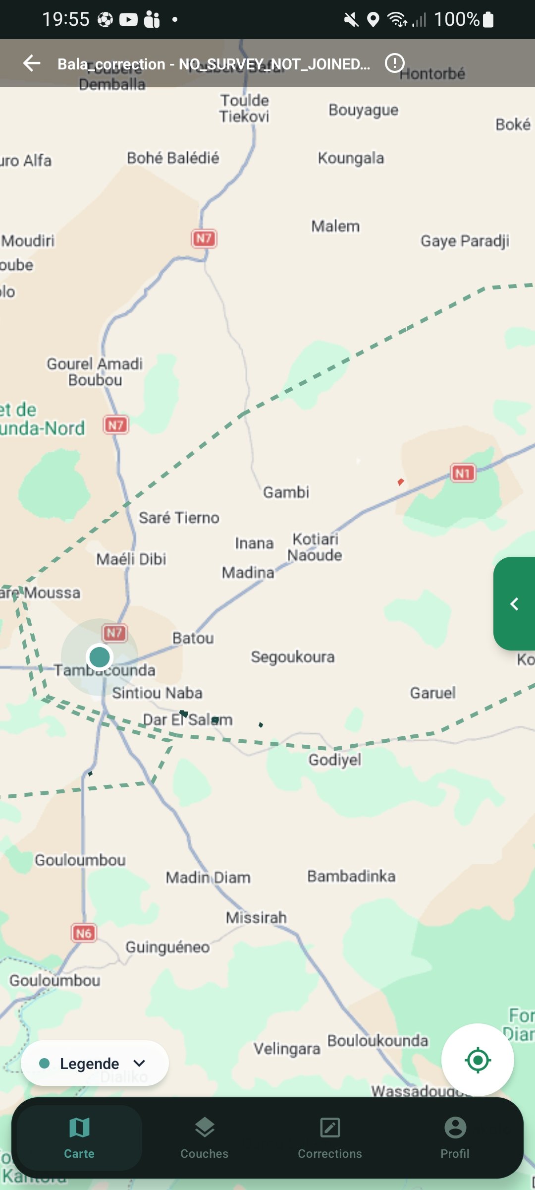
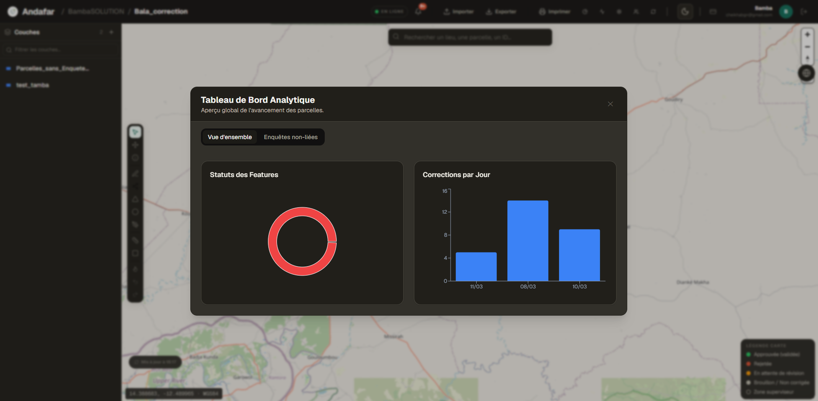
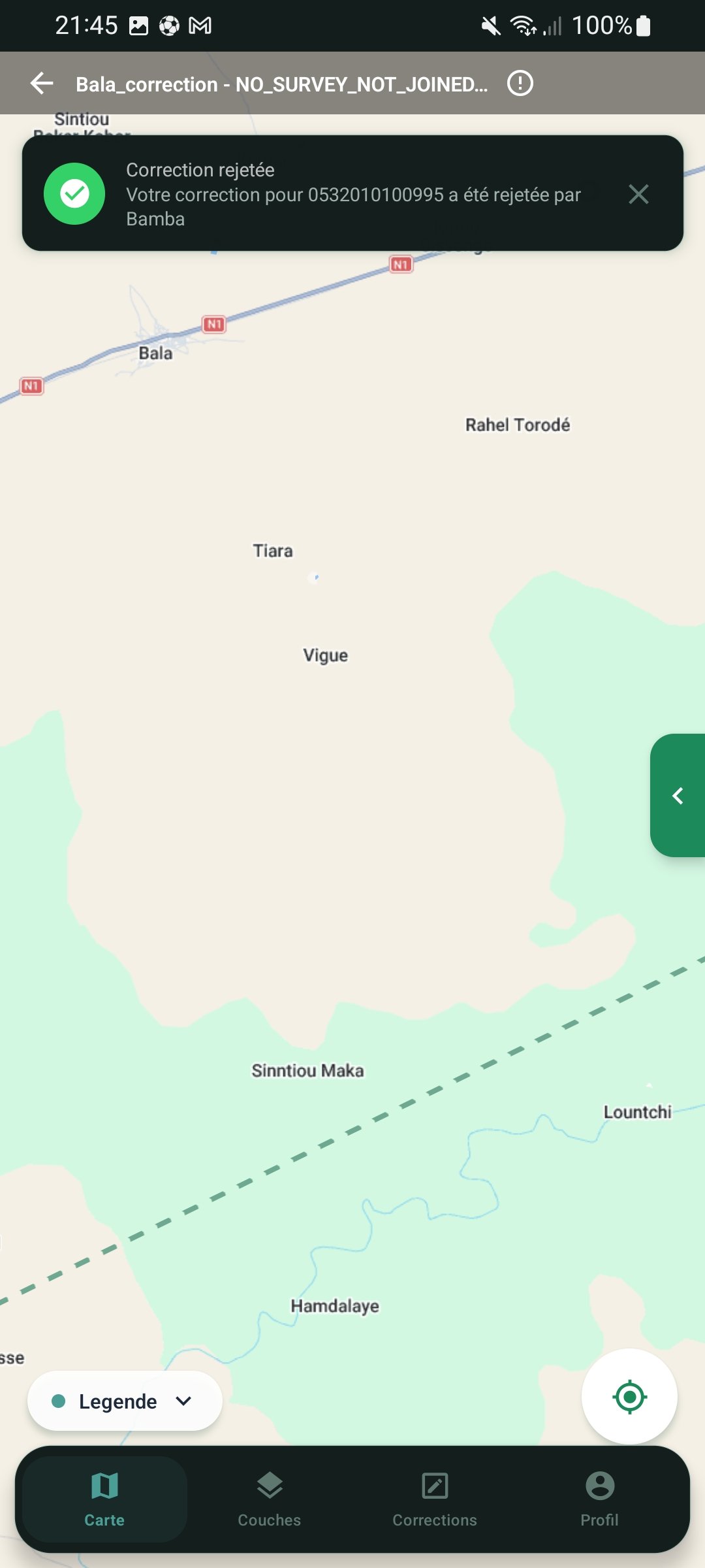
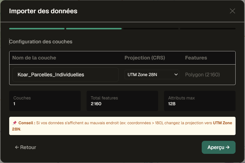
Collaborative GIS Platform

Correct Field Data
Together

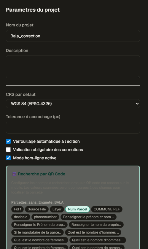
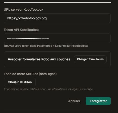
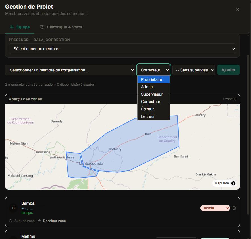
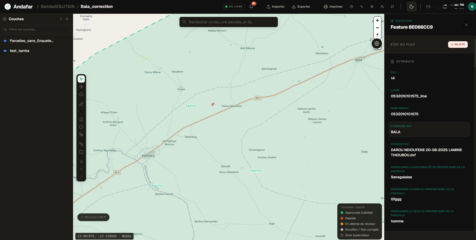
The platform that connects office and field teams for GIS data correction at scale. Works for utilities, land surveys, infrastructure, environmental mapping, humanitarian ops - offline-first, real-time, native KoboToolbox integration.

Andafar interface
Analytics Andafar
Correction preview Application mobile Andafar

Field GIS data correction was a headache

GIS data collected in the field arrives at the office incomplete, unverified, and improperly linked. Without a dedicated tool, coordination between agents and supervisors means time-consuming manual work.

Without Andafar

  • Excel files shared over WhatsApp, conflicting versions, no traceability
  • Field agents without connectivity - work impossible without a network
  • No link between the map feature and its correction form
  • Manual supervisor validation - no diff, no history, no formal rejections

With Andafar

  • Instant attribute join after corrections - no need to re-join through QGIS or ArcGIS manually
  • Offline-first: agents collect and correct data without any network, sync when back online
  • Each map feature is directly linked to its correction form - one tap to open, fill, and submit
  • Built-in before/after diff, full history, and formal approval or rejection workflow
  • Live validation or rejection - corrections are addressed on the spot, eliminating costly back-and-forth trips to the field
  • Daily corrections monitored per agent - supervisors see who submitted what, who reviewed it, and track team progress in real time
Andafar attribute table
Attribute table with statuses
Correction preview
Before / after diff
Project analytics dashboard
Project analytics

Everything your field team needs

A complete stack built for real field conditions: intermittent connectivity, non-technical agents, complex forms, rigorous validation.

01
Offline-first, always available
Layers, features, forms and basemaps cached locally. Your agents work without connectivity; corrections sync when back online. Automatic conflict resolution.
50 features cached 3 local layers MBTiles basemap Sync file queue
02
Real-time notifications
Every submitted correction notifies the supervisor instantly. The agent receives approval or rejection as a push notification, in real time.
Notifications mobile
03
QR Code to Feature
Scan a QR on a marker to instantly identify the feature, navigate to it, and open the pre-filled form. Zero manual entry.
QR Scanner
04
GPS Navigation
Turn-by-turn navigation to any GIS feature. Real-time distance and bearing via Google Maps SDK. Works with offline basemap.
GPS Navigation preview
05
Zones & Teams with granular control
Draw geographic zones on the map, assign agents by zone, configure supervisors by perimeter. Six roles: Owner, Admin, Supervisor, Corrector, Editor, Reader. Daily agent leaderboard to keep motivation high.
Zones drawn on map 6 role levels Supervisor per zone Daily leaderboard History per agent

From field to validation in 6 steps

A structured collaborative workflow between field agents, supervisors and GIS managers.

01

Import GIS Data

Load your GIS layers (GeoJSON, SHP, GPKG) and link your KoboToolbox forms. Up and running in minutes.

Import GIS data
02

Configure Layers

Set up your GIS layers, define attribute fields and customise forms for each field agent.

Layer configuration
Layer settings
03

Surveyors, Additions & Assignment Zones

Add field surveyors, define their coverage zones and assign features to each agent.

Assignment zones
04

Field Correction

The agent locates the feature, scans the QR code, fills the form with photos, GPS and attribute data. Works fully offline.

Field mobile app
05

Supervision & Validation

The supervisor sees the before/after diff in real-time from the web. They approve or reject with a comment. The agent is notified on mobile.

Web supervision
06

Export & QGIS

Export to GeoJSON, CSV, GPKG or SHP. Live QGIS sync via PostGIS connection or REST API.

Data export
QGIS connection

Plugged into your existing GIS stack

No migration needed. Andafar integrates with your tools without changing your workflow.

KOBO
KoboToolbox
XForm forms
QGIS
QGIS
Sync PostgreSQL
PG
PostGIS
Direct connection
GEO
GeoJSON / SHP
Import / Export

Transparent, scalable,
built for the field

Start for free. Scale up as your project grows. All prices in FCFA.

MONTHLY
ANNUAL 2 MONTHS FREE
.
Free
0 FCFA
forever
 
  • +1 active project
  • +3 members
  • +3 layers per project
  • +1 mobile device
  • +Unlimited features
  • -GIS Export
  • -QGIS access
Starter
30 000 FCFA
per month
 
  • +3 active projects
  • +5 members
  • +5 layers per project
  • +3 mobile devices
  • +Unlimited features
  • +GIS Export
  • -QGIS access
Enterprise
Enterprise
Sur
devis
 
 
  • +Unlimited projects
  • +Unlimited members
  • +Unlimited layers
  • +Unlimited devices
  • +Unlimited features
  • +GIS Export + QGIS
  • +Dedicated support + SLA
Early Access

The first 30 teams to sign up can reach us via WhatsApp or email for direct onboarding.

Open registration: self-serve setup - create your account and projects directly on the platform.
All plans include offline mode and native KoboToolbox sync. Email support included.

Real-time corrections
on Andafar Web

See GIS data corrections directly in the Andafar interface - office and field teams in sync.

Andafar live correction - map view
Andafar live correction - feature details
Andafar live correction - dashboard

Ready to deploy on your project?

Andafar is an open platform. Self-configure your account and projects, or reach out to discuss your GIS survey workflow.

CB
Cheikh Ahmadou Bamba GNINGUE
CEO - Geo Shiffai

CEO of Geo Shiffai, specialising in GIS field platforms, geospatial data management and smart city tools for West Africa and beyond.